Glacier Point, Yosemite: Views, Road Access & Best Time to Visit
What Makes Glacier Point One of Yosemite’s Most Popular Viewpoints?
Yosemite is one of the most beloved places in California to get outdoors.
And of the park’s many viewpoints, one of the best known is Glacier Point.
This guide covers why Glacier Point draws the crowds it does, a little of Yosemite’s history and how the landscape was formed, and the practical details worth knowing before you go.
Yosemite sits near the top of a lot of California bucket lists, and Glacier Point is usually the first stop people name. It also rewards repeat visits: the scenery reads differently every time, and there’s always something new to notice.
1. Yosemite National Park at a Glance
1-1. Where It Is and What’s There
Yosemite National Park spreads across the western slope of California’s Sierra Nevada, covering about 750,000 acres (3,081 km²), and it was named a UNESCO World Heritage Site in 1984.
From San Francisco, Yosemite Valley is about 195 miles out, and the park’s own estimate is four to five hours of driving.
From Los Angeles, it’s about 313 miles, or roughly six hours behind the wheel.
Geologically, the park is defined by glacier-carved granite cliffs and domes, some of the tallest waterfalls in the world, and a patchwork of subalpine forest and high-country meadows.
Yosemite Valley sits at roughly 4,000 feet (1,200 m). Summers are generally dry, and the great majority of the rain and snow falls between October and May.
Up in the high country above 10,000 feet (3,000 m), mornings and evenings stay cold even in summer.
1-2. Where to Stay in and Around the Park
Yosemite Valley
This is the heart of the park, with the visitor center, restaurants, and bike rentals all in one place.
Lodging here includes The Ahwahnee, Yosemite Valley Lodge, and Curry Village.
Glacier Point is about an hour’s drive from the Valley.
Since this is where the restaurants and stores are, you’ll probably pass through the Valley more than once on any trip.
Wawona
Near the park’s south entrance, Wawona has a historic Victorian-style hotel and a golf course.
The historic Wawona Hotel is here, but it has been closed since December 2024 for a comprehensive condition assessment, and no reopening date has been announced — check before you build it into a plan.
Tuolumne Meadows
A high-country area that opens seasonally in summer, and a popular base for hiking and climbing.
For camping, check seasonal availability at Tuolumne Meadows Campground.
Gateway Towns Outside the Park
El Portal, Oakhurst, and Lee Vining all sit just outside the park boundary, with chain motels and Airbnb options.
The closest hotel to the park with a Tesla Supercharger on site is Yosemite View Lodge in El Portal, about a seven-minute drive from the park entrance.
In peak season, lodging inside Yosemite Valley can sell out six months ahead, so booking early matters.
1-3. Entrance Fees and Reservations
At the time of writing, the entrance fee is $35 per passenger vehicle, valid for seven days.
There is an important catch for visitors coming from outside the country: non-U.S. residents aged 16 and over pay an additional $100 per person, unless they are admitted on a qualifying annual pass.
On passes, the America the Beautiful annual pass is $80 for U.S. citizens and residents and $250 for non-residents. Yosemite’s own $70 annual pass is limited to U.S. citizens and permanent residents.
Pricing and eligibility can change, so it’s worth confirming before you drive up.
As for entry reservations, no advance reservation is required to drive into Yosemite in 2026. That is separate from reservations and permits for lodging, camping, and activities such as Half Dome. The park has used a timed-entry system in past summers and could bring one back, so confirm the current rule on the park’s website before you build a plan around a sunrise arrival.
1-4. How to Get to Glacier Point
Glacier Point Road is seasonal. It generally opens once the snow is cleared in late spring and closes again in the fall, but the exact dates shift year to year with the snowpack, so check the park’s road status before you go.
1. By Car
From Yosemite Valley, take Wawona Road (Highway 41) south about 13 miles to the Chinquapin intersection, then turn left onto Glacier Point Road and stay on it to the end. It works out to roughly 30 miles, and the park’s estimate is about an hour — leave room for traffic and for finding a space.
The lot holds roughly 200 cars, and on weekends it can fill before 9:00 a.m.
2. Seasonal Tour Bus (Glacier Point Tour)
A guided tour bus runs up from Yosemite Valley, and you can book one-way or round-trip.
It operates in peak season only, and you’ll need a reservation.
3. On Foot
The Four Mile Trail climbs from the valley floor to the overlook in 4.8 miles (7.7 km) one way — longer than the name suggests — gaining roughly 3,200 feet (1,000 m). Figure four or five hours going up.
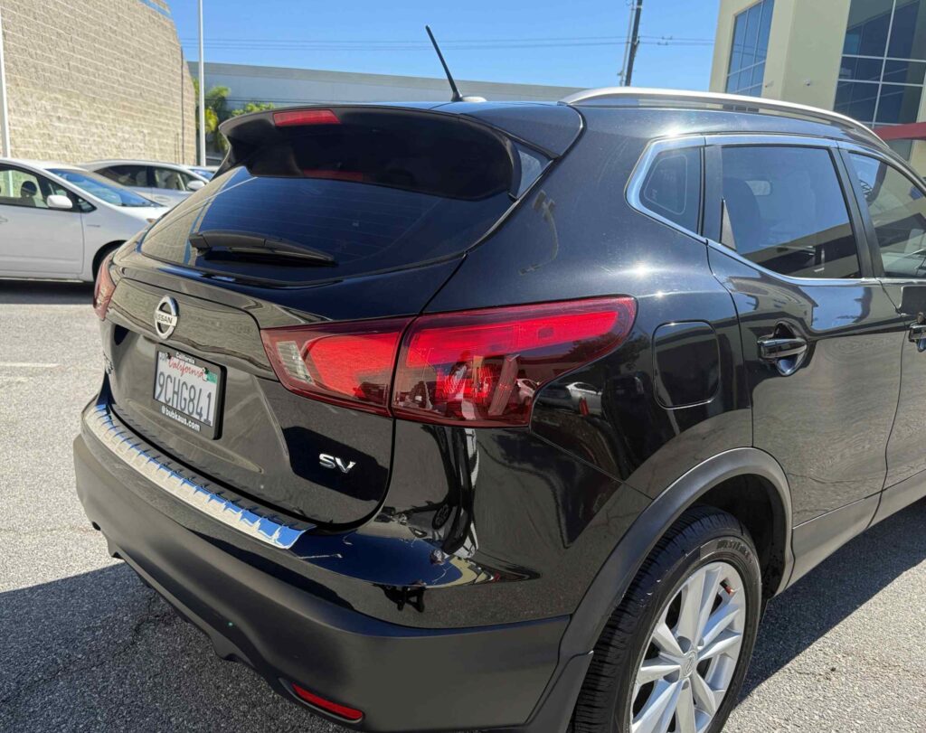
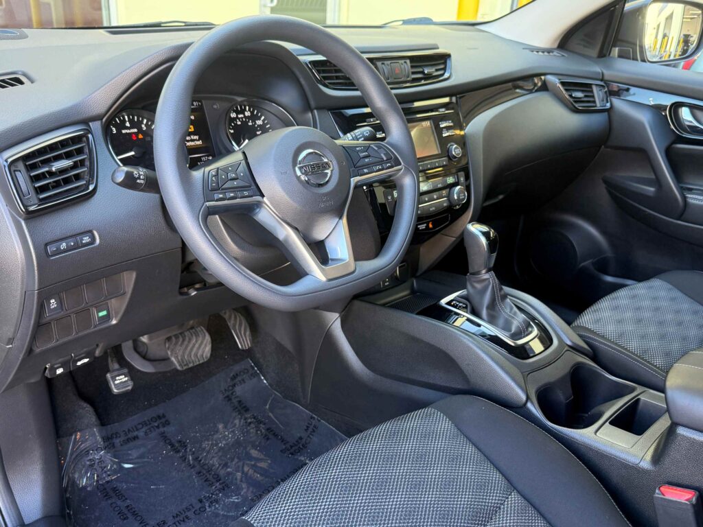
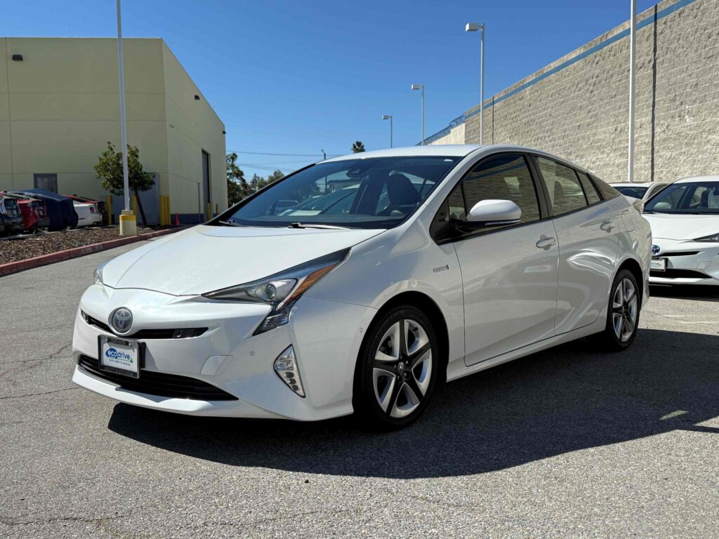
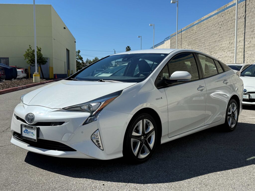
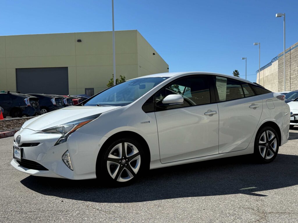
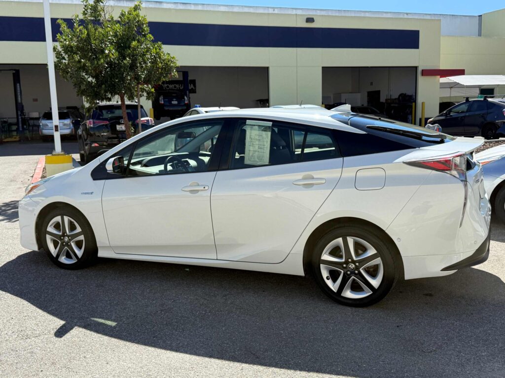
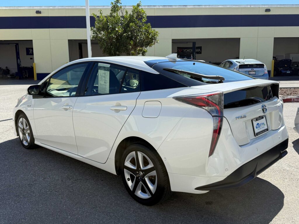
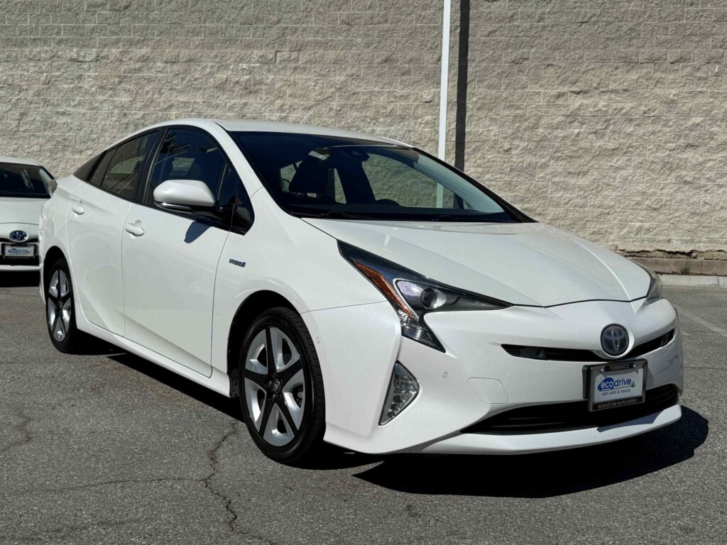
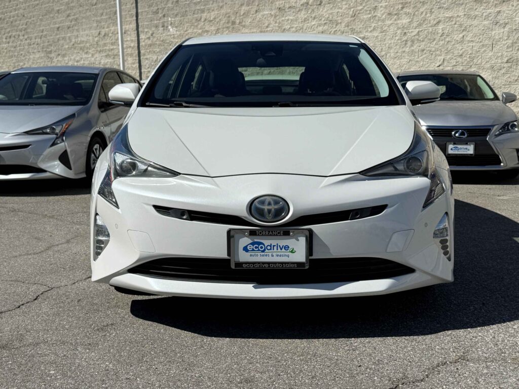
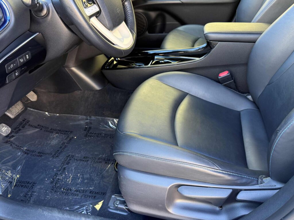
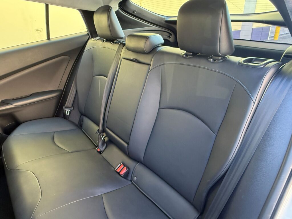
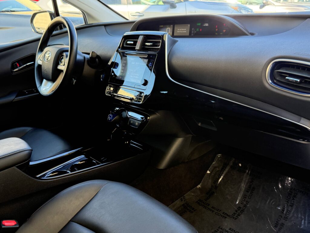
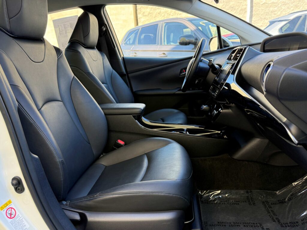
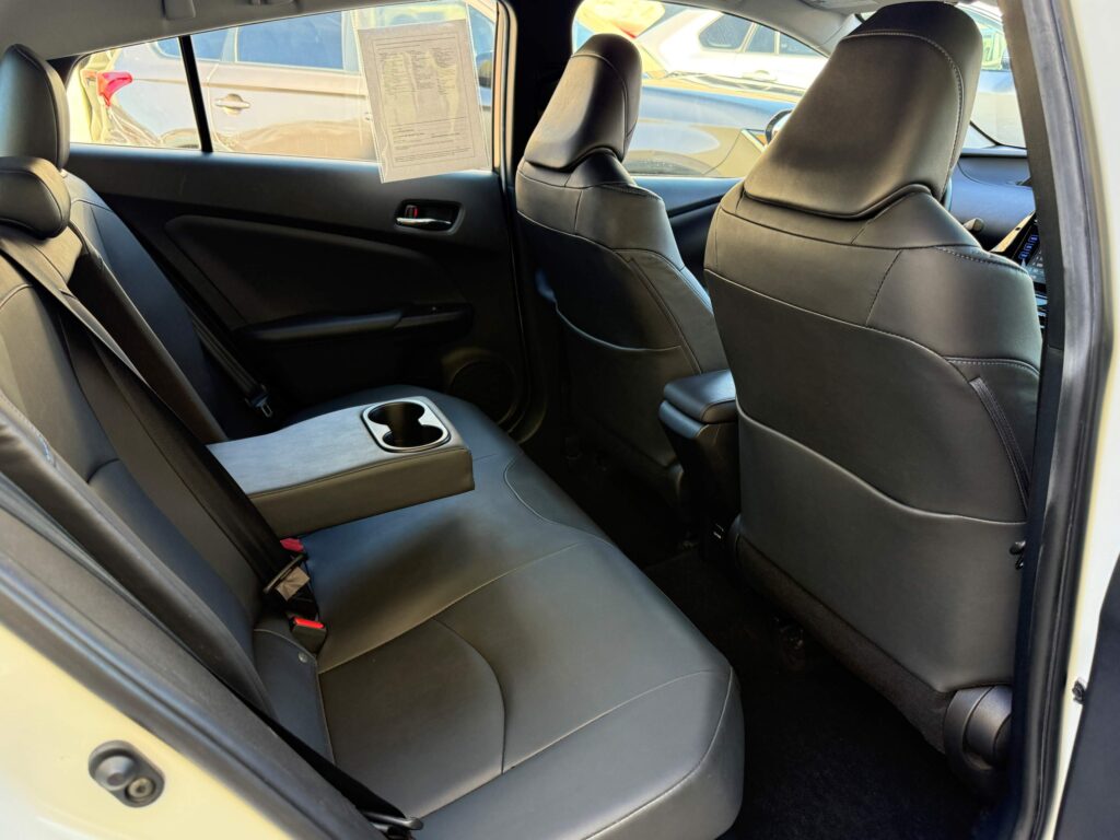
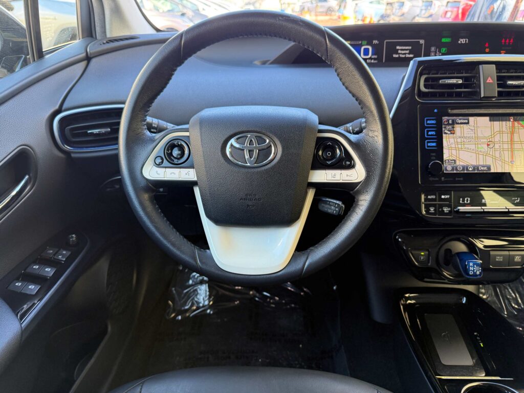
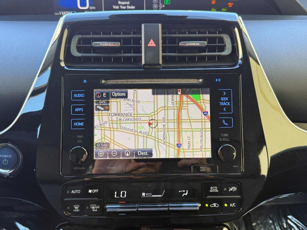
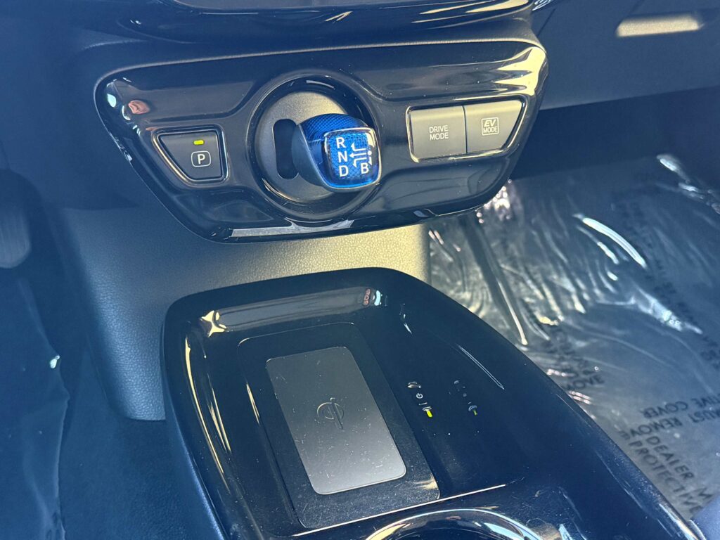
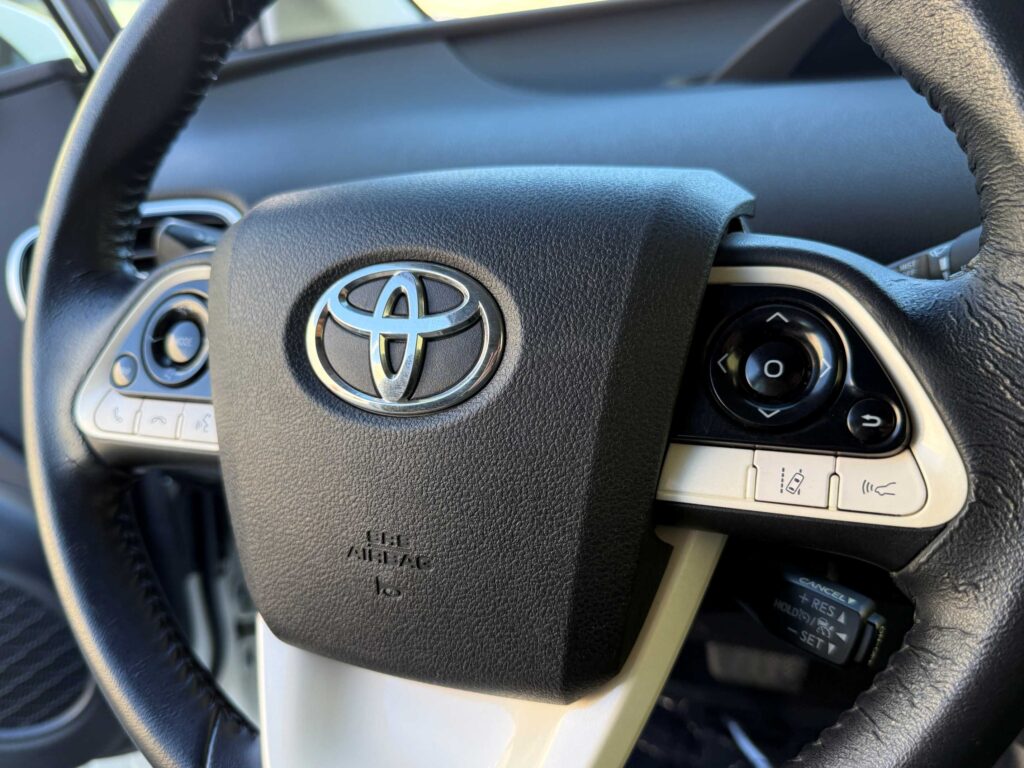
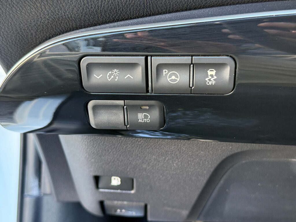
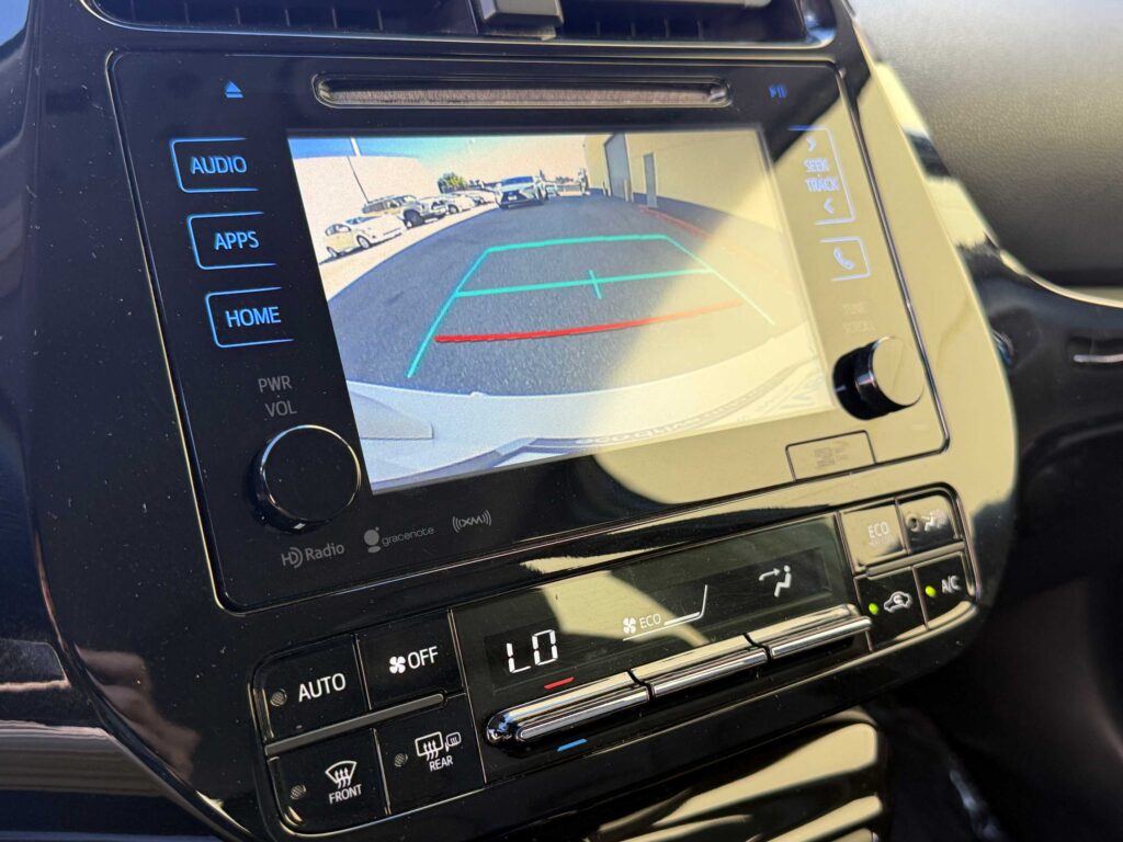
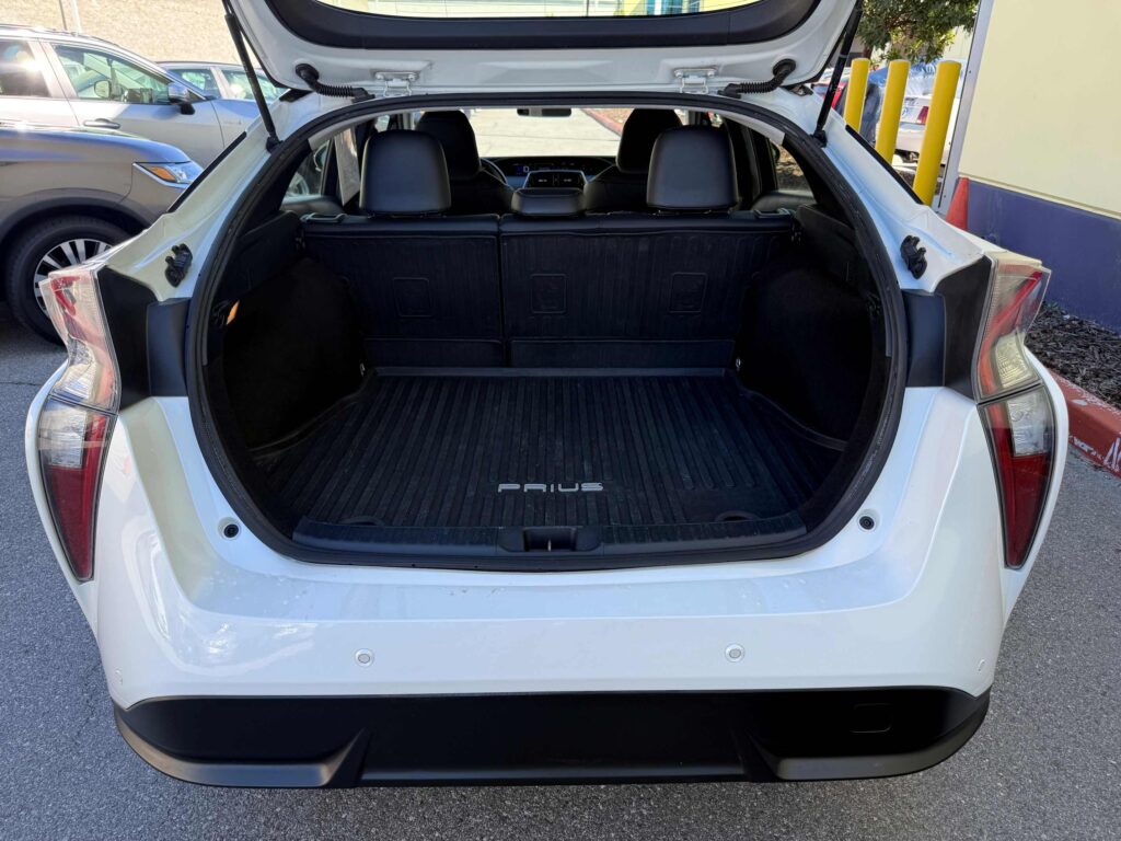
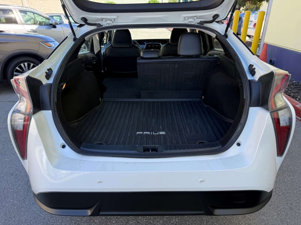
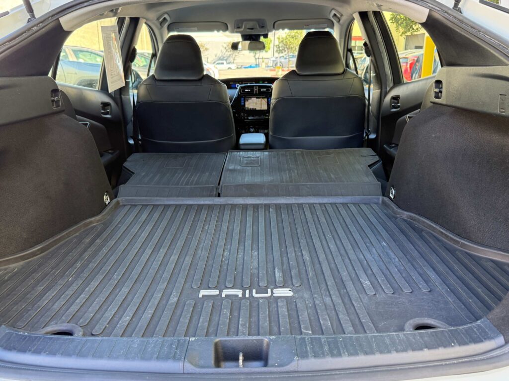
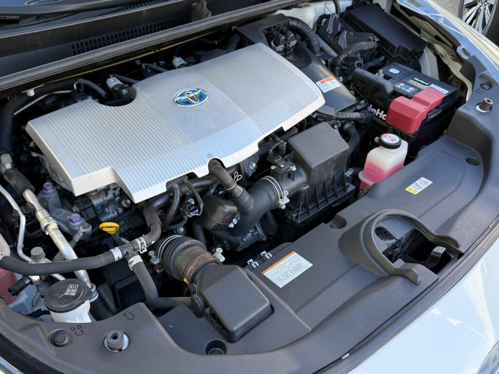
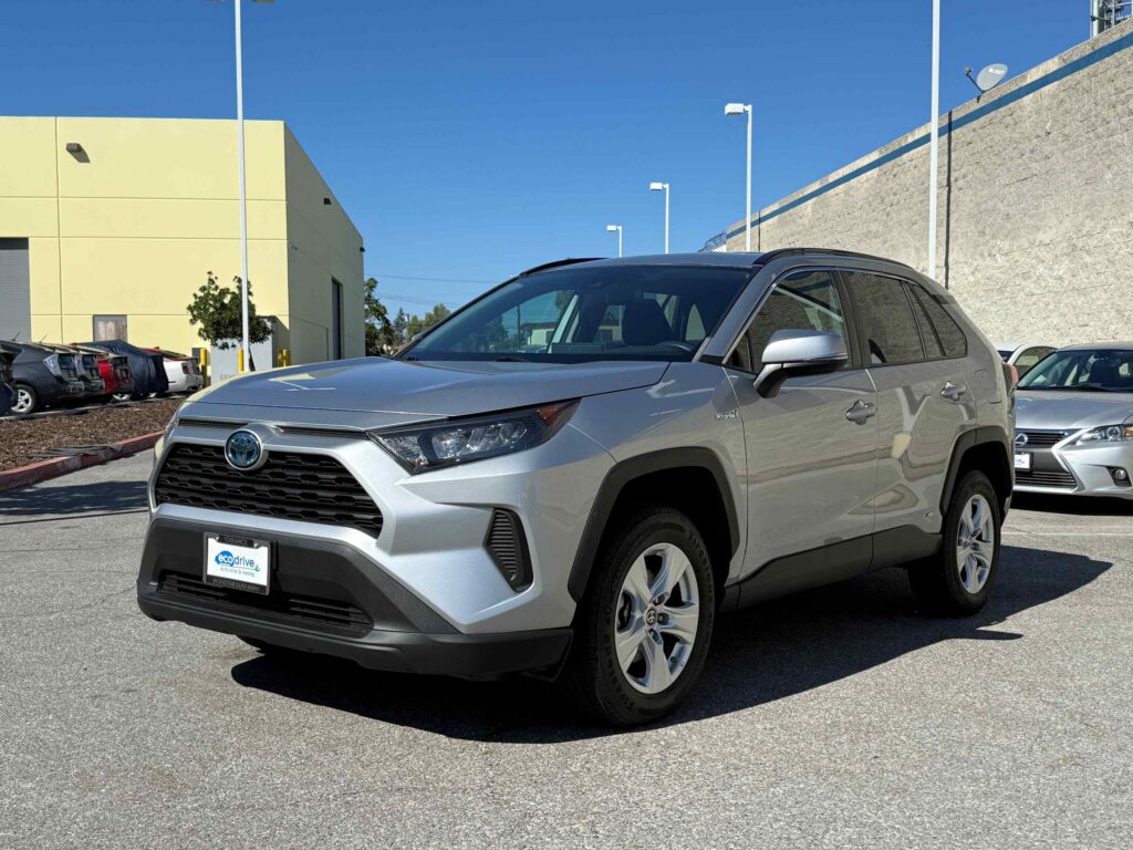
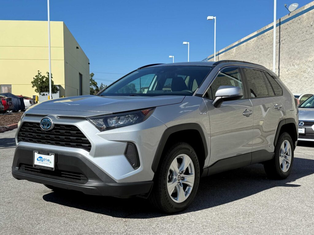
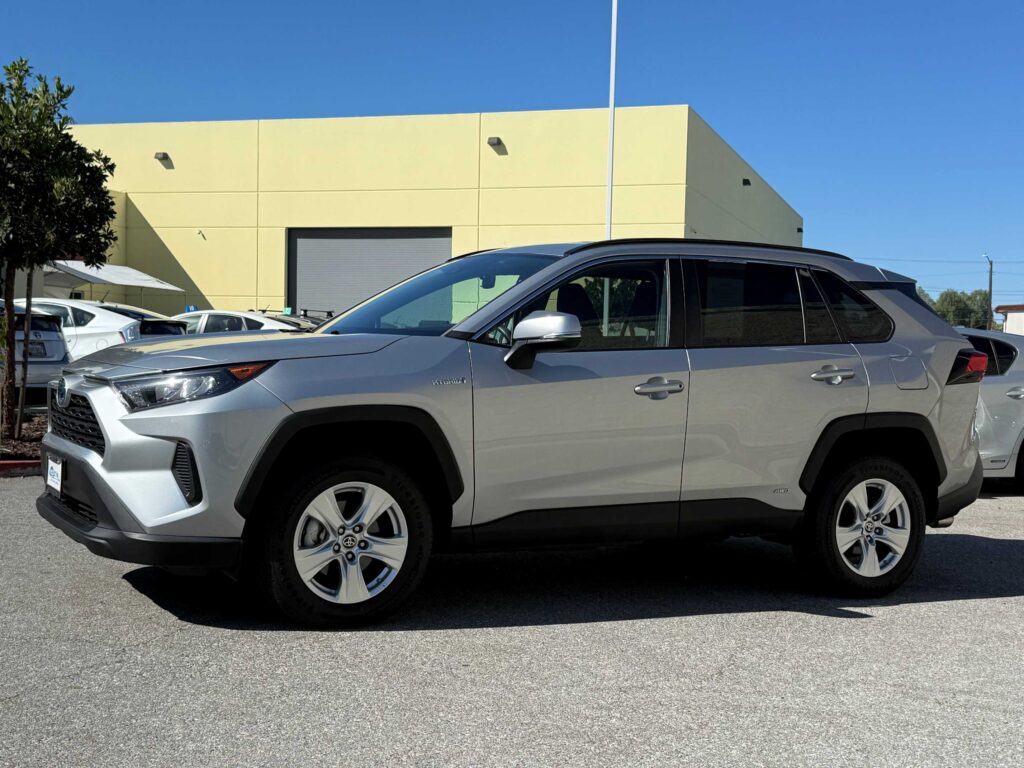
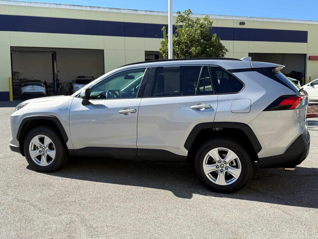
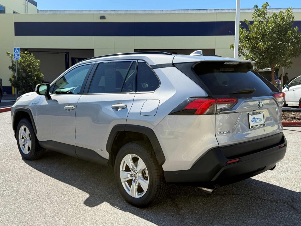
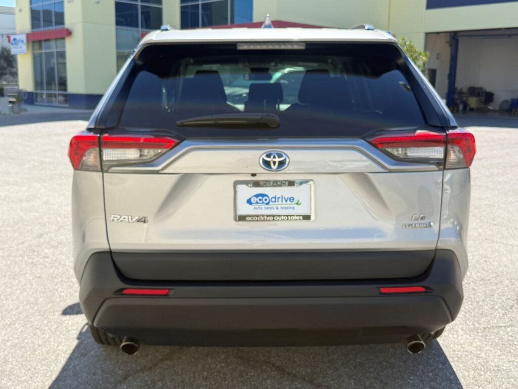
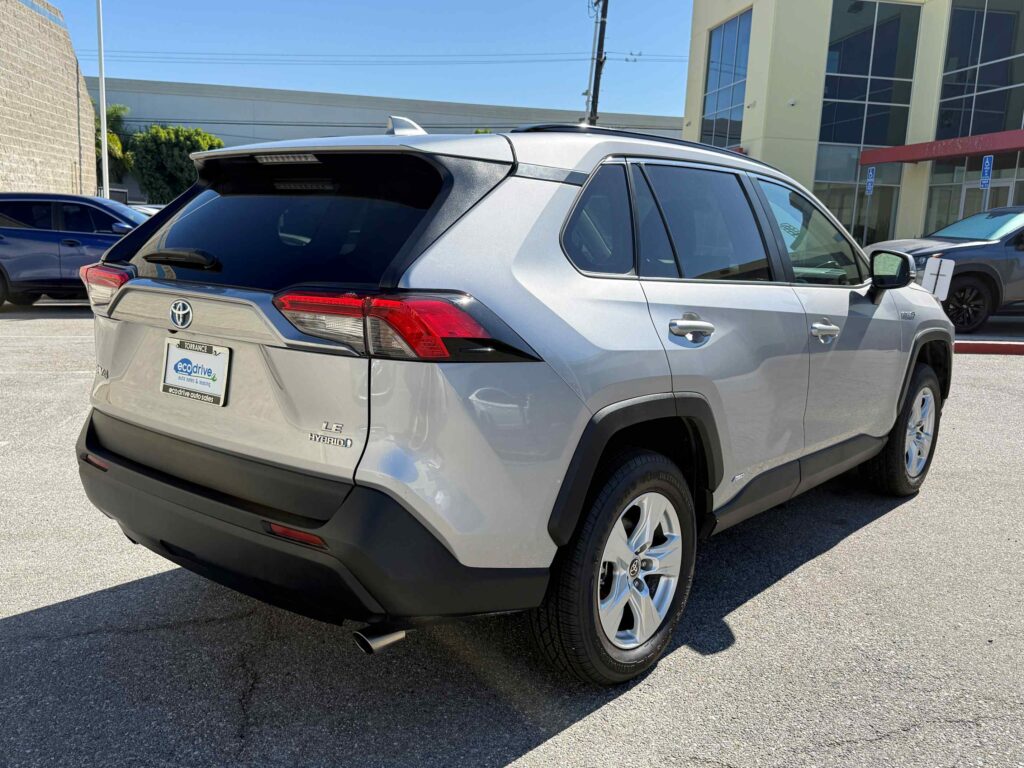
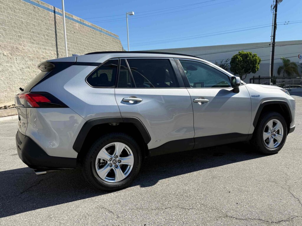
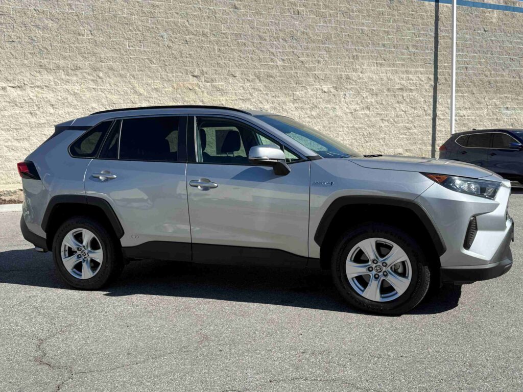
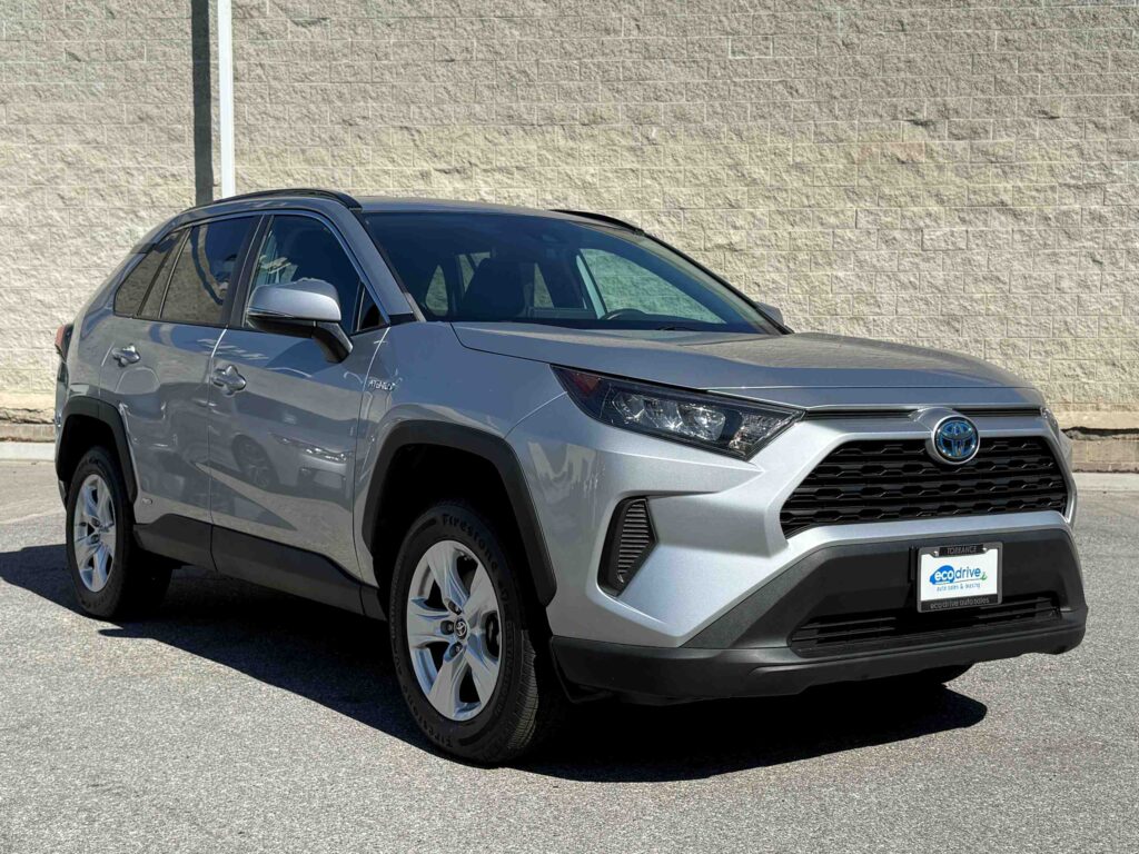
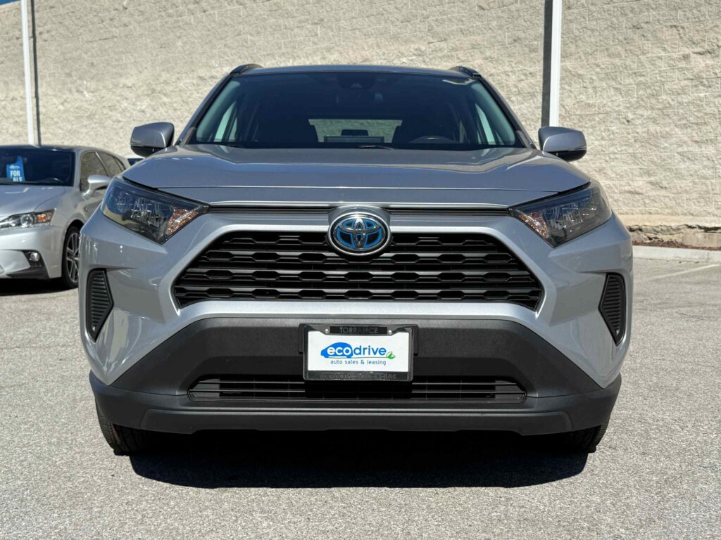
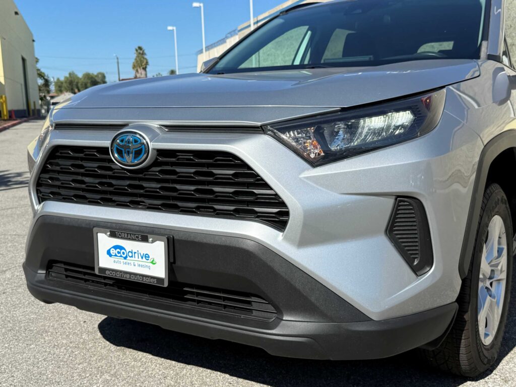
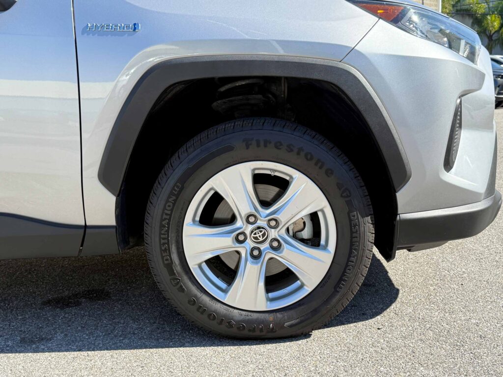
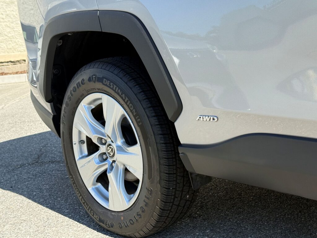
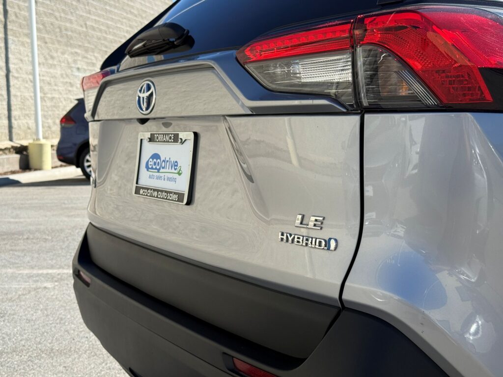
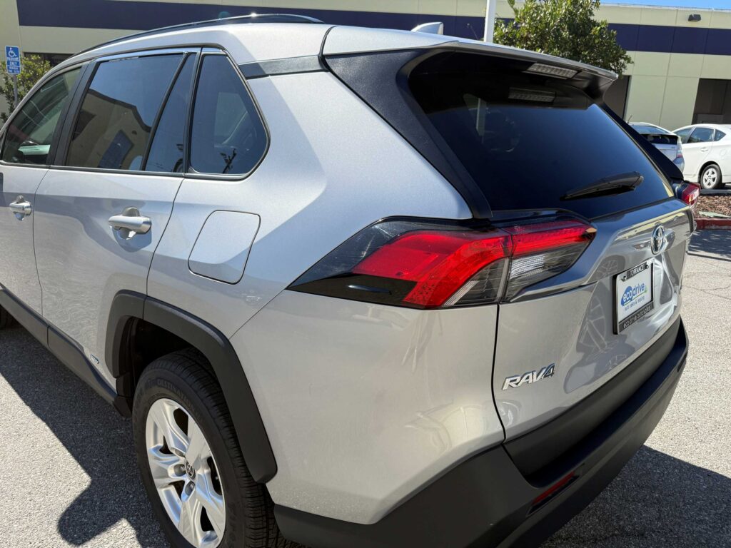
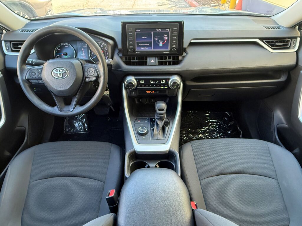
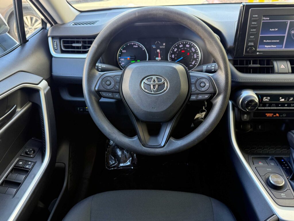
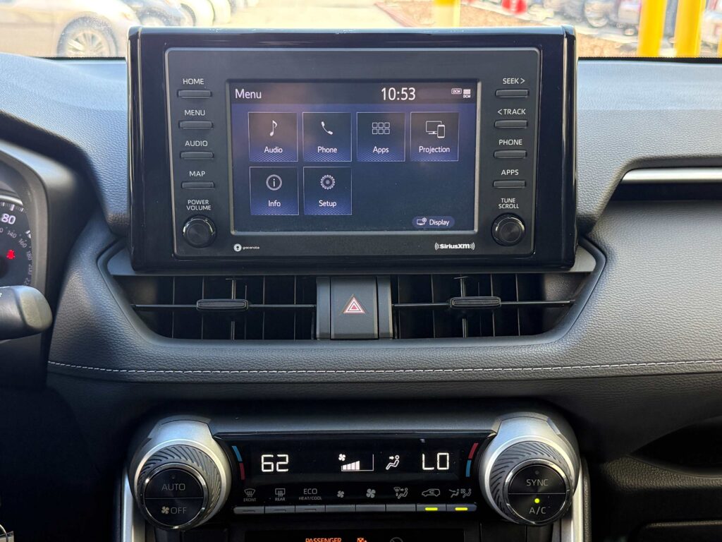
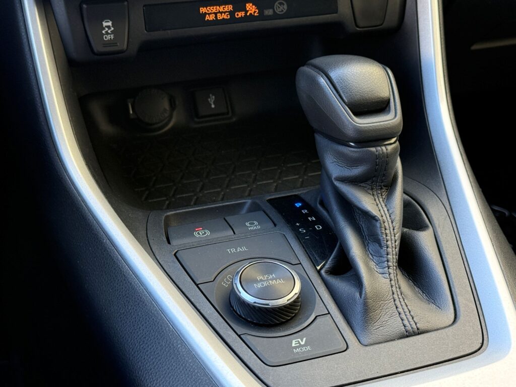
Driving up from Southern California? Yosemite is a long day behind the wheel, and the free Yosemite Valley shuttle does not run to Glacier Point. There is a seasonal paid tour bus, but a car is what gives you control over your own schedule. Our fuel-efficient hybrid rental cars are a practical option for the drive up and a few days of sightseeing.
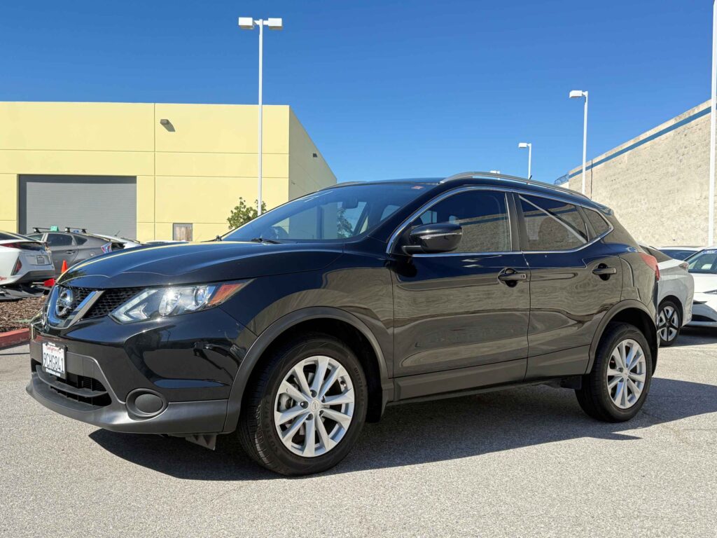
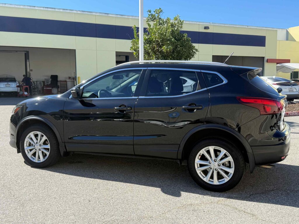
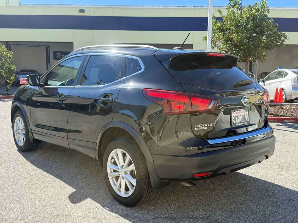
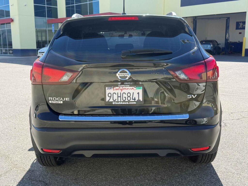
New Arrivals
Discover our newest arrivals—available now!









2. What Is Glacier Point, and Why Is It So Famous?
2-1. The View From the Overlook
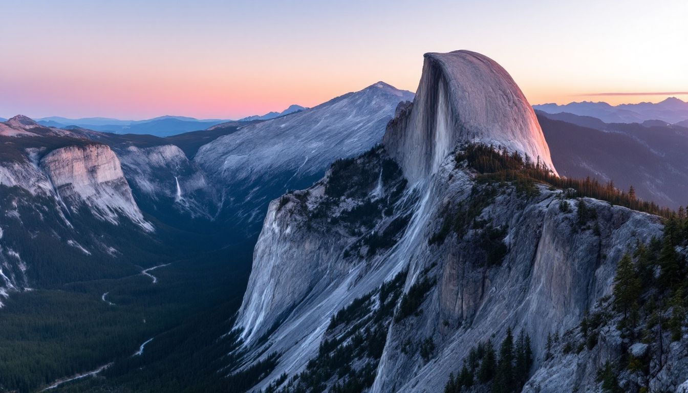
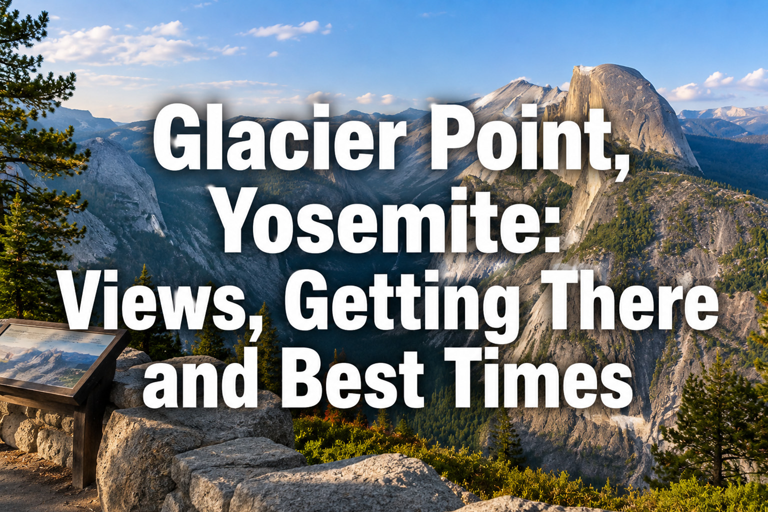
Glacier Point is where you get that clean, wide-open look at Half Dome — the enormous, smooth-faced granite dome the park is known for.
The overlook sits at 7,214 feet (2,199 m), roughly 3,000 feet (900 m) above the floor of Yosemite Valley.
From the railing you can take in Half Dome, Clouds Rest, and Nevada Fall all at once.
Around sunrise the granite turns pink and orange, which is why this is the hour photographers love most.
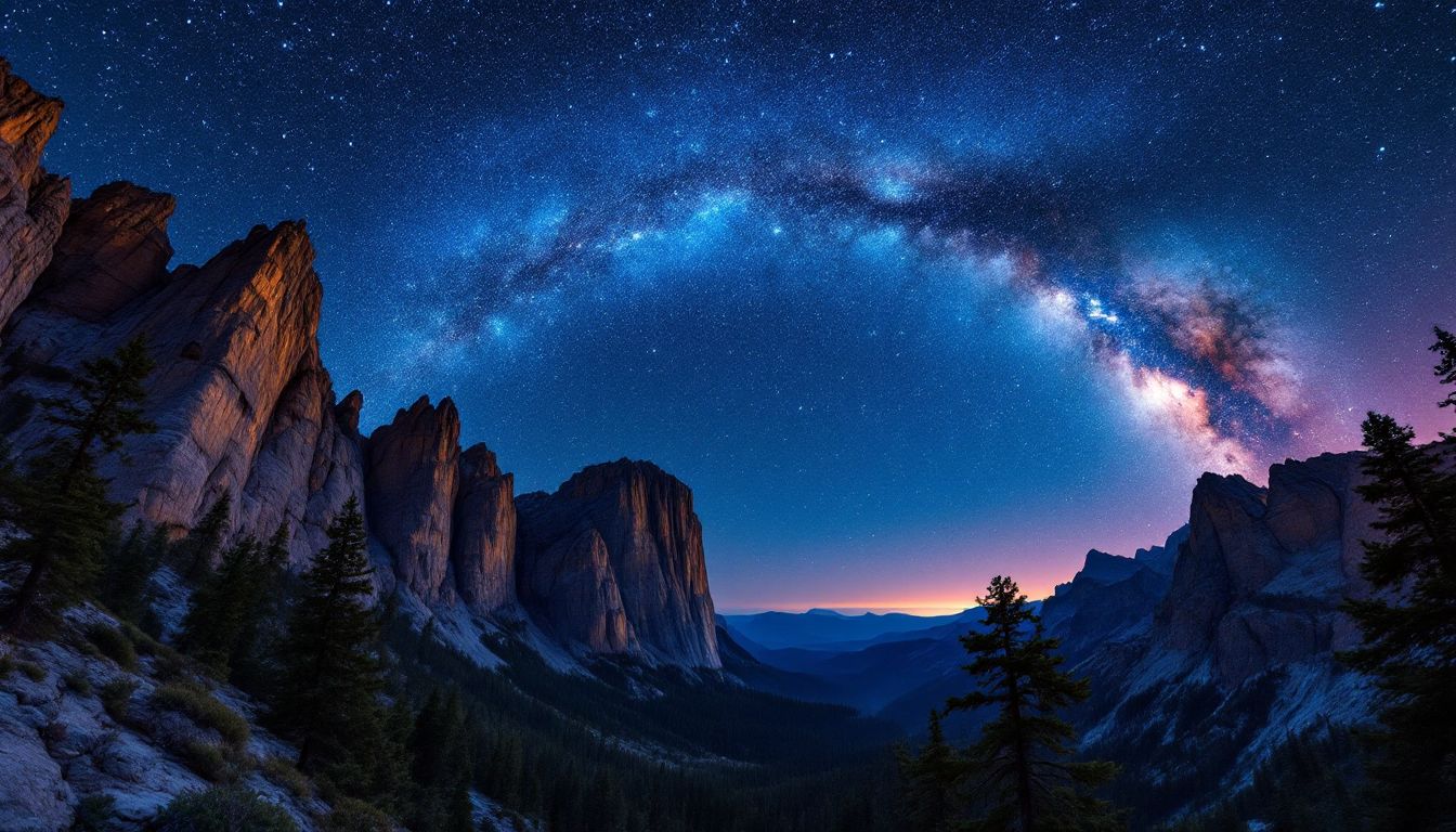
After sunset the western sky lights up, and on a clear, moonless night the Milky Way can arc overhead.
2-2. There Used to Be a Hotel Up Here
The Yosemite Grant Act of 1864 set this land aside for protection, and early tourism development followed.
By 1872 a pack-horse trail had been built, and summer tours for wealthy travelers took off.
The three-story wooden Glacier Point Hotel was completed in 1917, known for its grand dining room and a lobby fireplace.
At night, the embers of a bonfire built at the overlook were pushed over the edge of the cliff in a spectacle called the Firefall, which from the valley floor below looked like a glowing waterfall.
The Firefall was ended for good in the late 1960s, and the hotel itself burned in a July 1969 electrical fire. Only the foundations are left today.
One thing worth clearing up: the “firefall” people photograph today is a completely different, natural effect — sunlight catching Horsetail Fall on clear evenings in mid- to late February.
2-3. How Yosemite’s Granite Was Formed
The bedrock behind Half Dome and Glacier Point is Mesozoic granite, formed from magma that cooled slowly deep underground.
During the ice ages of the Quaternary period, the Yosemite Glacier ground away at the valley walls, polishing the exposed rock like a file.
Half Dome’s summit was never overtopped by glaciers, so its rounded upper surface came from something else entirely. The sheer face formed along a large vertical fracture in the granite that the glaciers below were able to exploit.
That rounded top is the work of exfoliation, in which slabs of rock break and peel away along curving parallel fractures — and it is still going on.
Freeze-thaw cycles and chemical weathering from rainwater keep working on the cliffs today, and small rockfalls are observed around Glacier Point.
2-4. When Is the Best Time to Visit?
Because the road is only open from late spring through fall, that stretch is your window for driving up.
In May you get lingering snow and fresh green at the same time, and the waterfalls run at their fullest.
June and July bring wildflowers, and on clear days the views stretch far into the high country.
August and September are good months for sunsets and Milky Way shots.
By October the fall color starts, and cold mornings and evenings make the rock faces glow a deeper red.
If you’re shooting sunrise, get there about 30 minutes early and set up a tripod so you can settle on a composition without rushing.
At sunset the mountain shadows move in fast — the color starts changing dramatically about 40 minutes before the sun touches the ridgeline.
Set your tripod somewhere that doesn’t block the walkway, and share the space during busy hours.
For night photography, switch your headlamp to red so you don’t wreck anyone else’s night vision.
2-5. Accessibility
A paved, 300-yard switchback trail runs from the main parking lot out to the overlook, and it is wheelchair accessible — though the park notes that some sections are steeper than a standard accessible grade.
The lot has designated accessible spaces, and staff direct traffic when it’s crowded.
The restroom next to the overlook is accessible, as are the snack stand and gift shop.
Wheelchairs can be rented year-round at the Yosemite Valley Lodge front desk, and manual wheelchairs and electric mobility scooters are available seasonally at the Valley bike stand.
On the terrace below the gift shop there is a bronze relief model that identifies the geologic features in front of you by touch.
The park also publishes materials in braille and other adapted formats, and runs services for deaf and hard-of-hearing visitors — the official accessibility guide has the current list.
The free shuttle buses in Yosemite Valley are wheelchair accessible, with lifts and tie-downs.
2-6. Trails and Activities Nearby
Four Mile Trail
The classic route between Yosemite Valley and Glacier Point, and a steady climb the whole way.
The roughly 3,200-foot (1,000 m) gain makes it a workout, but the views of Half Dome from the switchbacks pay you back.
Panorama Trail
This route runs from Glacier Point past Nevada Fall and down into Yosemite Valley, about 8.2 miles (13.2 km) one way.
You spend much of it looking down on a string of waterfalls, though it is not all downhill — after the drop to Illilouette Fall there is an 800-foot climb before the descent picks up again. If you are walking it one way, sort out your ride back before you start.
Taft Point and Sentinel Dome
Both start from the shared Sentinel Dome/Taft Point trailhead on Glacier Point Road, a few miles before Glacier Point itself — not from the Glacier Point lot. Taft Point is 2.2 miles (3.5 km) round trip and Sentinel Dome about 2 miles (3.2 km), so you can get a dramatic cliff-edge view and a 360-degree summit panorama without a big commitment.
Taft Point at sunset, with the light dropping into the canyon, is a favorite for engagement photos.
Climbing
The Glacier Point Apron has several multi-pitch routes and is known for its slab climbing.
Day climbing does not require a permit, though anyone staying overnight on a big wall needs a wilderness climbing permit. Either way, follow the park’s posted guidelines.
Winter Activities
Once the road closes, the area is reachable on backcountry skis or snowshoes, and the ranger-guided tours out of Badger Pass are popular. From Badger Pass it is 10.5 miles each way, a 21-mile round trip, so this is a full winter outing rather than a casual snowshoe walk.
A wilderness permit is only needed if you are staying out overnight, not for a day trip — but the avalanche and snowpack risk is real either way, so carry a beacon, probe, and shovel, and know how to use them.
These trails can close for rockfall or thunderstorms, so check with the visitor center or the NPS website the morning of your trip before heading out.
2-7. Parking, Restrooms, and Facilities
The parking lot holds roughly 200 cars, and at peak times attendants let you know when it’s full.
There’s a restroom next to the viewing area. It’s a popular spot with a lot of foot traffic, so expect a line at busy hours.
The Geology Hut has interpretive panels on the geology, and rangers give short talks there in summer.
The snack stand and gift shop sell light food, drinks, and basic rain ponchos during the season the road is open, though hours vary — don’t count on it for a meal.
Drinking water may be available up here in summer, but it is seasonal and not guaranteed, and there are no vending machines — bring what you need rather than counting on a refill.
Six picnic tables sit near the overlook, and shade is limited, so a hat or sun umbrella makes the wait easier.
Cell service is spotty even on the major carriers, and there’s no free Wi-Fi.
2-8. Staying Safe and Protecting the Park
The overlook sits at 7,214 feet (2,199 m), high enough that some people feel tired or get a headache, especially coming straight up from sea level. Take the walk out slowly and give yourself a little time rather than treating it as a quick stop.
Summer sun at this elevation is intense — bring sunscreen and UV-blocking sunglasses.
Thunderstorms build in the afternoon, and you should not wait for an official warning: if you hear thunder, head straight for a hard-topped vehicle or a substantial building. An exposed granite overlook is one of the worst places to be caught.
Black bears live throughout the park, and improper food storage can get you fined, so follow the park’s rules rather than improvising.
During daylight hours you may keep food inside your car, but only out of sight and with the windows completely closed. After dark, food does not belong in the car at all, trunk included — it goes in one of the park’s food lockers. Sealed bags and containers are not a substitute for either rule.
Natural weathering of the cliffs causes small rockfalls, so don’t go past the closure signs.
Stepping off-trail damages the alpine plants, so stay on the designated paths.
Pack out your trash or use the park’s bear-proof containers, and follow Leave No Trace principles.
2-9. Frequently Asked Questions
Q: Can I drive my own car up Glacier Point Road in winter?
A: Not all the way. The stretch as far as the Badger Pass Ski Area is plowed while the ski area is operating, but Glacier Point Road is closed beyond that through the winter and into spring, so you cannot drive to the overlook.
Q: What should I do if the parking lot is full?
A: Spaces start turning over in the afternoon, but the surest approach is to arrive before 9:00 a.m.
Q: When is the best time to photograph Half Dome?
A: Early morning and the hour around sunset are usually the most rewarding, though how strong the color gets depends on the season and the weather.
Q: Can I bring my dog?
A: Pets are allowed in paved areas that are not signed otherwise, on a leash no longer than six feet, but they are not permitted on hiking trails such as the Four Mile Trail. Check the posted signs when you arrive.
Q: Is there drinking water at the overlook?
A: Drinking water may be available during the summer season, but it is not guaranteed — fill up in Yosemite Valley or bring plenty in the car.
Long highway miles ahead of you? The stretch from Los Angeles or the Bay Area to the park is the kind of drive that gets a lot easier with driver assistance. If you have been curious about it, our Tesla / FSD Rental lets you try it on a real road trip instead of a test drive around the block. Full Self-Driving (Supervised) still requires an attentive driver ready to take over at any time; it does not make the car autonomous.
Before You Go
Fees, road opening dates, shuttle and tour schedules, and any entry-reservation requirement all change from season to season, and this guide reflects what was published at the time of writing. Check the National Park Service site for Yosemite — and the park’s current conditions page — within a few days of your trip, especially if you’re driving up for sunrise or planning around Glacier Point Road being open.
We share more of our favorite spots on Instagram — take a look.
You May Also Like